Close
Close
Close

Close
2011
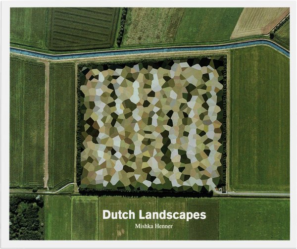
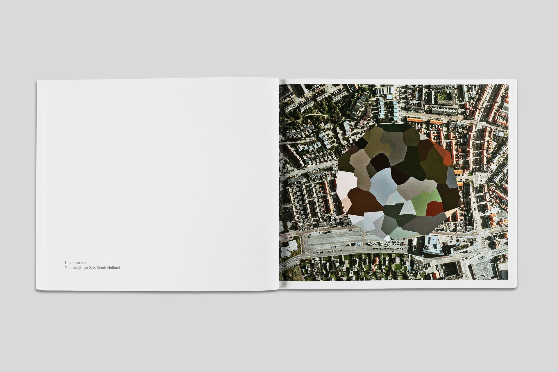
The Dutch government is one of the most vociferous in censoring satellite imagery to protect political, economic, and military locations critical for national security; their method imposes bold, multi-colored polygons over sites. Here, Henner presents the interventions as aerial landscape images that contrast supposedly secret sites with the environment around them, proposing an unlikely continuation of the Dutch landscape painting tradition.
9.8 × 7.9 in